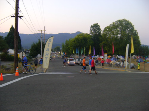
Ride Date: 12 September 2011
Starting City: Cottage Grove, OR
Ending City: Reedsport, OR
Ride Stats: 92.17 miles, 3,526' of climbing, 6:12:57
My new cot working FABULOUSLY. I found the LuxuryLite cot on the Cycle Oregon forum. I was a little skeptical at first but they offered a money-back guarantee and rate their cots up to 325 lbs, which covers my weight very well. I was able to sleep soundly and in several different positions, but...
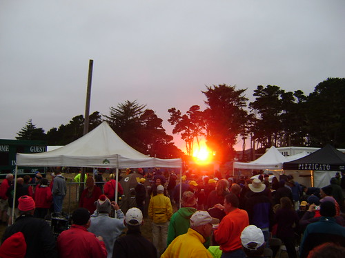
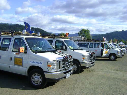
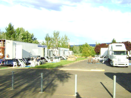
The shower trucks woke me up at 4:30am. Wow, those diesel generators are really loud. I won't camp anywhere near them in the future.
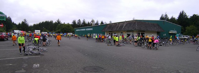
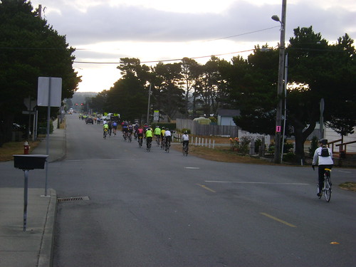
My goal each morning was to be on the road by 7 am which would give me a good shot at being done by 4pm. This day I wasn't out until 7:30. Oh well, maybe tomorrow.
All day long I had stuck in my head the song "Spinning Wheel" by Blood, Sweat, and Tears.
The rollers started early, leading to a decent incline by mile 4. The short summit at mile 8 offered a wonderful downhill where I hit 35 MPH several times. My average speed at mile 11 was 1:54.7, which puts my average speed for that mile at 31.39 MPH. That was a HOOT.
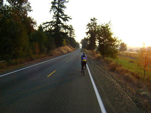
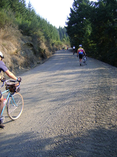
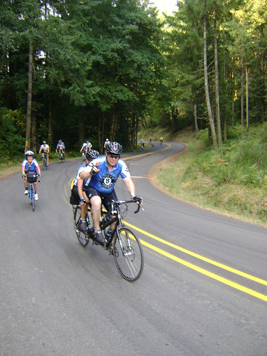
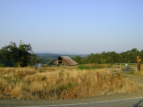
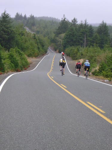
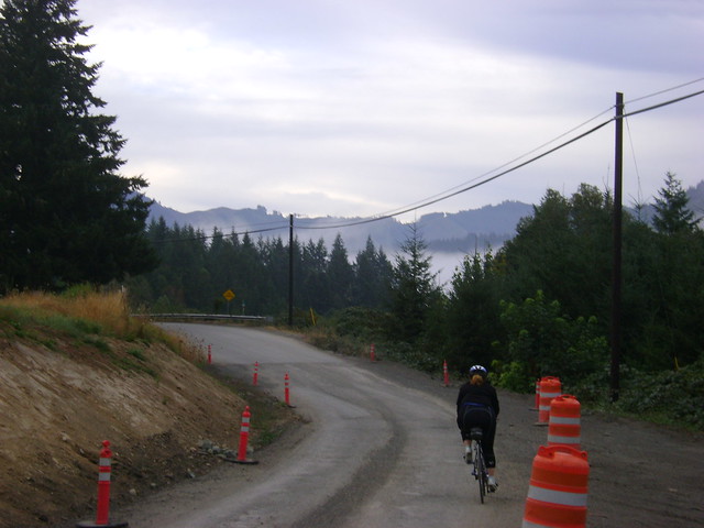
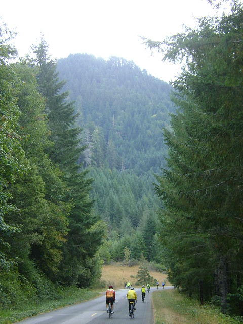
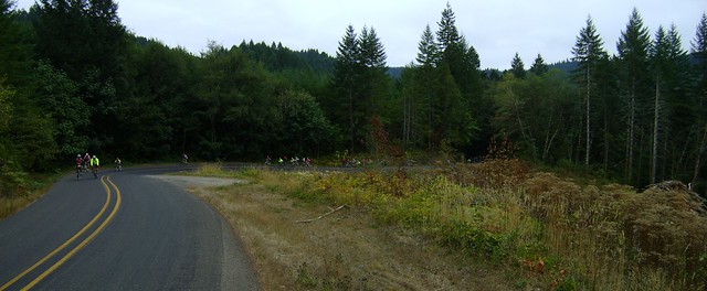 Climbing up the very winding South Sister Road, somewhere between Cottage Grove and Reedsport, OR.
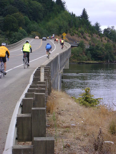
Unfortunately the chip seal started at mile 22 and lasted until mile 90 when we turned onto 101. The backroads we traveled today were very scenic, very twisty, and nearly deserted. It is really fun riding on a road with no median line for 60 miles. Calling this road windy does not do it justice. Zooming in on the GPS profile around mile 55 should give you a good idea of what we experienced.
The big uphill section was quite steep, 7% for several miles, approaching 11% near the top. going down the other side was incredible.
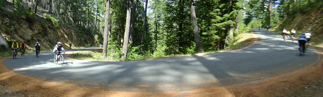
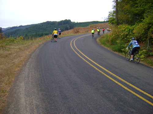 Climbing up the very winding South Sister Road, somewhere between Cottage Grove and Reedsport, OR.
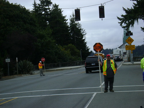
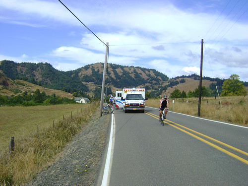
On one of the sharp turns paramedics were working on a girl on the road shoulder. That particular turn had lots of signs on it saying "Slow Down" and "Sharp Turn Ahead". My guess is she didn't slow down enough. That turn was near 90 degrees and at the bottom of a very steep section. Later that day I saw another ambulance rolling code 3 around mile 70 going back up the course.
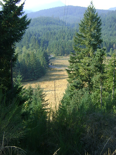
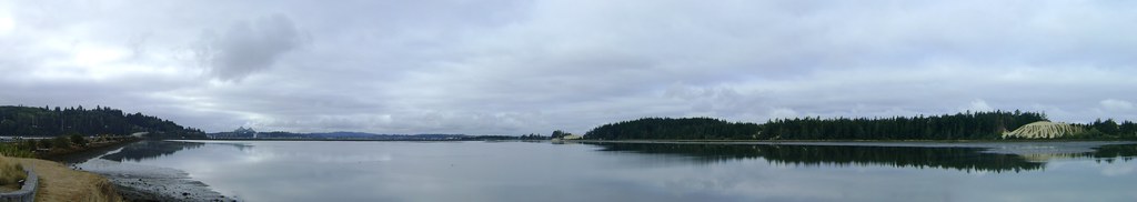
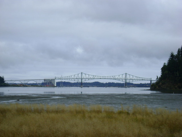
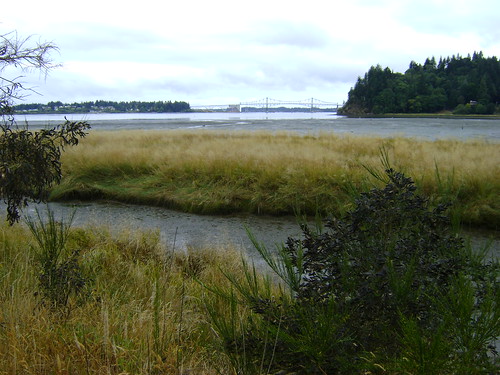
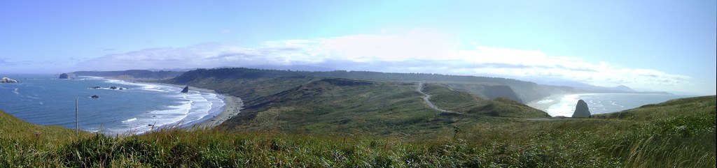
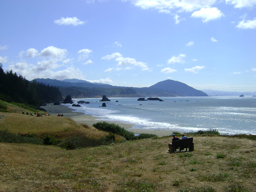
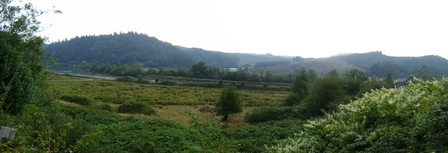
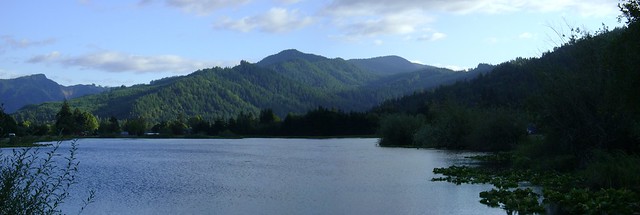
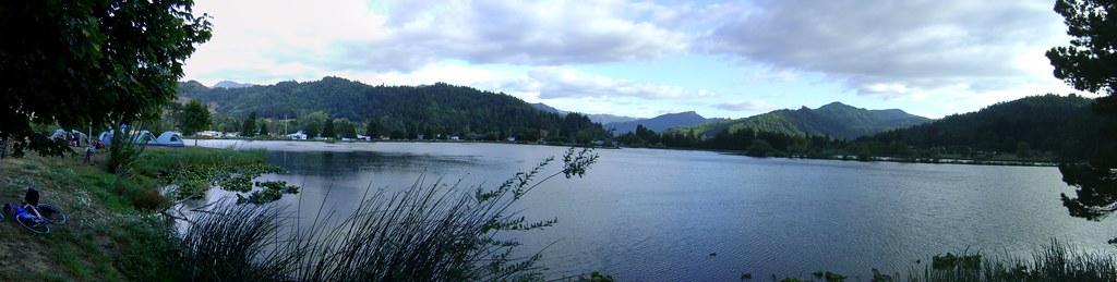
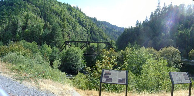
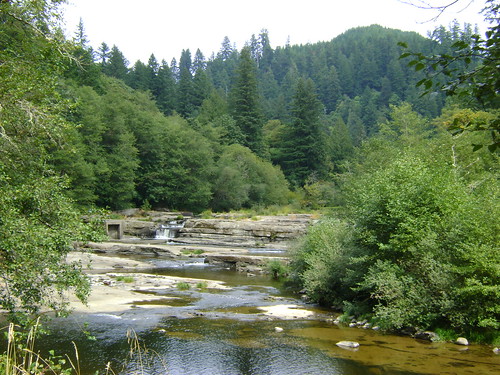
Following the first 40 miles the rest of the day was all downhill, following the Smith River. The views that day were some of the best of the week.
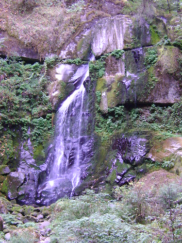
 View of the Smith River along Lower Smith River Road, somewhere between Cottage Grove and Reedsport, OR. Along the river we found an old fish ladder at Smith River Falls and even an old suspension bridge. The old fish ladder was in deep disrepair and appeared to not have functioned in a very long time. The falls itself was pretty cool.
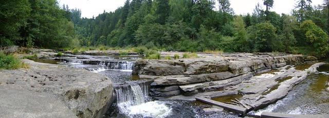 View of Smith Falls on the Smith River along Lower Smith River Road, somewhere between Cottage Grove and Reedsport, OR.
 View Smith Falls on the Smith River along Lower Smith River Road, somewhere between Cottage Grove and Reedsport, OR. The old fish ladder is visible on the left.
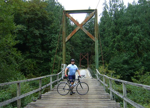 Suspension bridge on the Smith River along Lower Smith River Road, somewhere between Cottage Grove and Reedsport, OR.
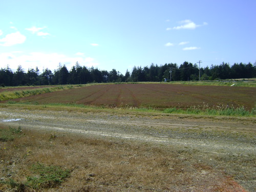
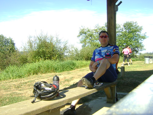
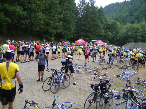
At the rest and lunch stops for the day were very sparce. They were literally wide spots in the road with almost no places to sit. Our lunch stop was a gravel dump and a turn-out.
 Lunch stop, Day 2 of Cycle Oregon 2011. Lower Smith River Road, somewhere between Cottage Grove and Reedsport, OR. The lunch stop was literally a wide spot in the road used to stage gravel for road construction and repair.
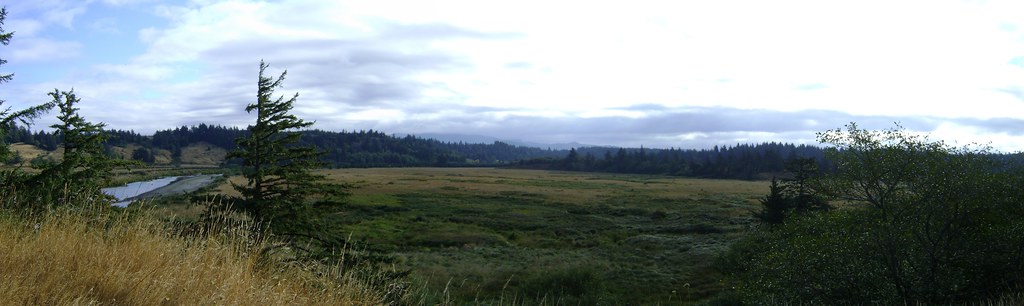
After lunch the road leveled out to a 1-2% downhill for virtually the entire second half of the day (50+ miles) through what the locals call the "Cathedral of the Forest". And for good reason...
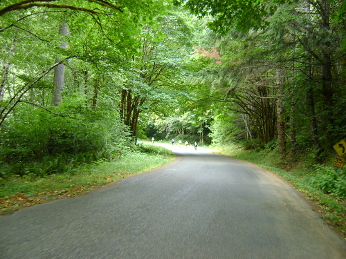 Cathedral of the Forest, Lower Smith River Road, somewhere between Cottage Grove and Reedsport, OR.
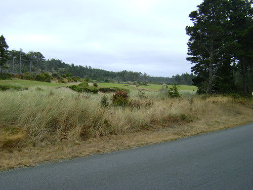
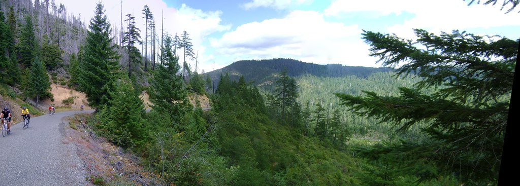
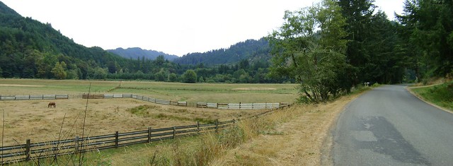 View of the Smith River valley along Lower Smith River Road, somewhere between Cottage Grove and Reedsport, OR.
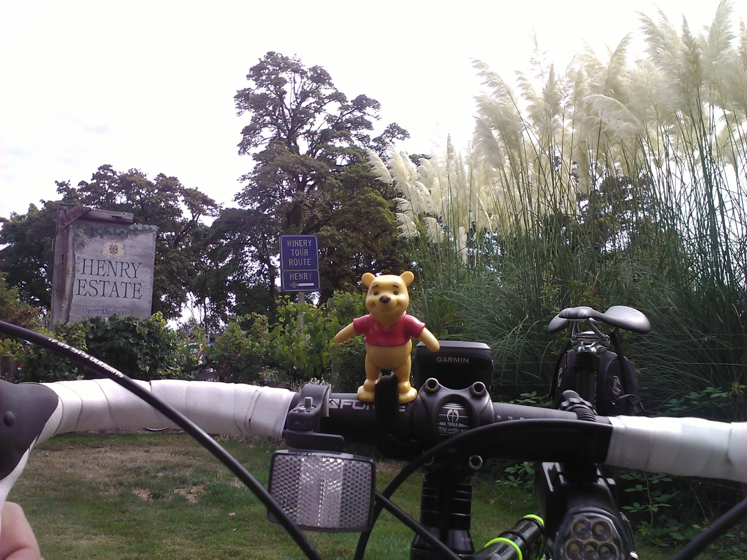
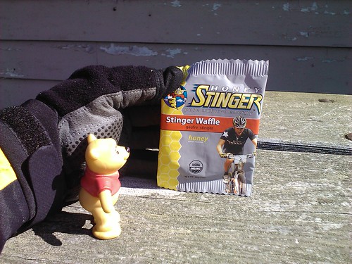
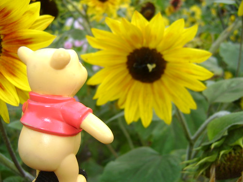
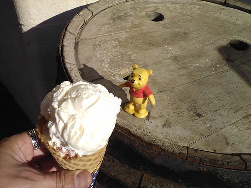
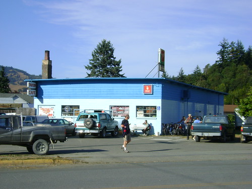
Toward the end of the day we came upon the Smith River Grocery and Tavern, a small little store with snacks and gas. I picked up some food and a Mt. Dew and went outside to relax. I was met by a young boy and his dog named Dude. They were both very friendly. The dog tried to eat my camera and even Pooh.
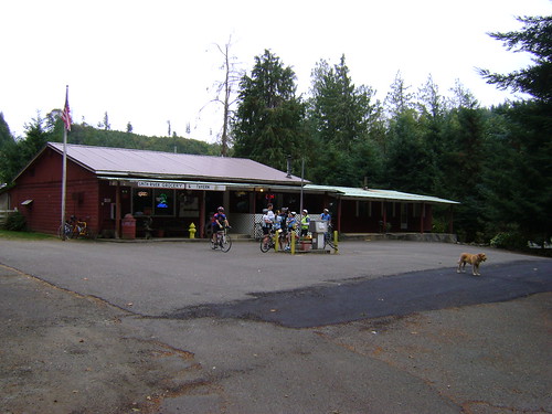 The Smith River Store along Lower Smith River Road, near Franz, OR.
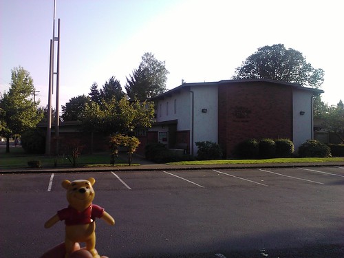
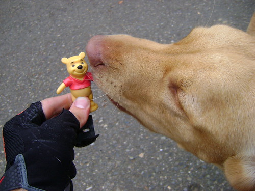 Pooh meets a dog named "Dude" at the Smith River Store along Lower Smith River Road, near Franz, OR.
This was a very long day with over 9 hours of time on the road. To ease the pain in my seat I came up with a new riding technique I call "10x10s". It involves 10 standing pedal strokes followed by a 10-count of coasting while standing. Doing about 3-4 of these every 30 minutes or so really increased the time I could stay on the road.
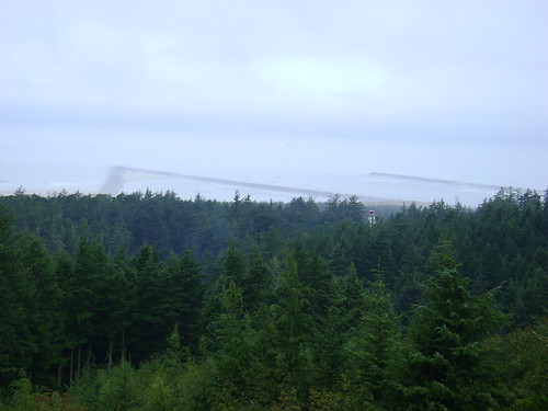
There weren't many scenic views today but there were very few cars and lots of picturesque views of the river.
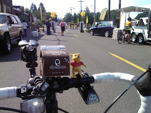
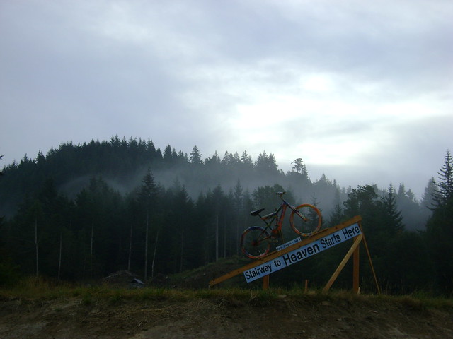
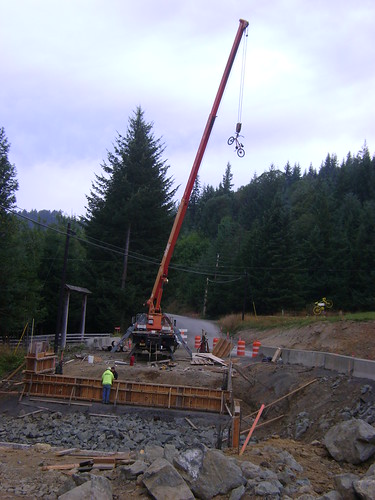
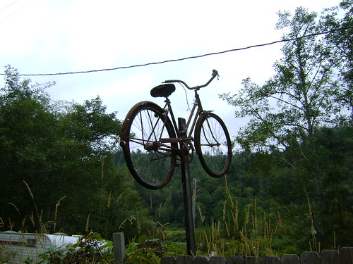 Bike art just outside the second rest stop of Day 2, Cycle Oregon 2011.
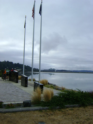
 View of the Smith River along Lower Smith River Road, just before it empties into the Umpqua River ourside Reedsport, OR. I feel sorry for the towns we stay in after a long day in the saddle: I showered, ate, and went to bed early. It doesn't give us a lot of time to do any eating, shopping, or otherwise spend money in the towns.
On the way to dinner, where I had the most incredible triple chocolate cake, I found out that Reedsport is the "Chainsaw carving capital of Oregon", or at least that's what they claim...
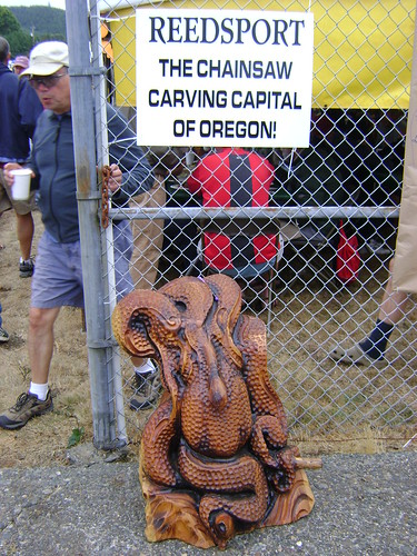 Chainsaw carving just outside the food tent, Reedsport, OR.
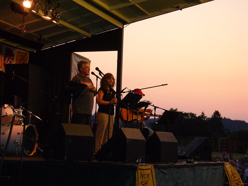
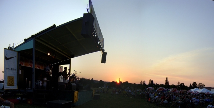
The evening's entertainment featured a great blues band, Peter Giri & Friends. They also played at the afternoon rest stop. The sax player did an interesting bit where he would play 2 saxes at the same time.
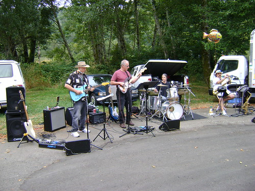 Peter Giri & Company playing the blues at the last rest stop of Day 2, Cycle Oregon 2011.
 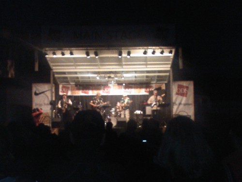 Peter Giri & Company pleasing the crowd after a long day on the road.
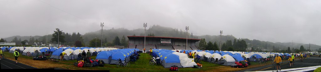
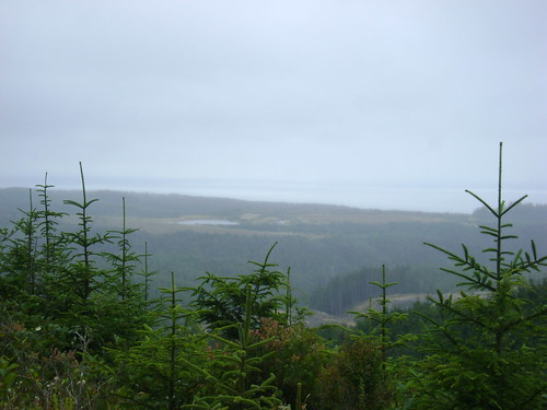
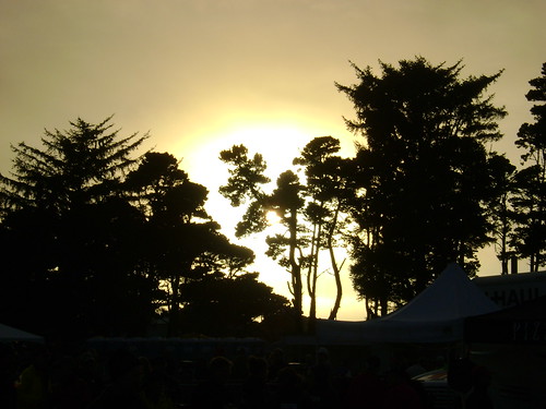
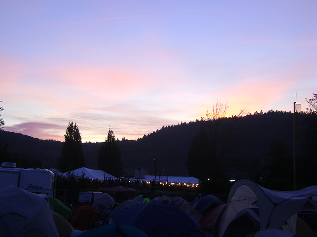
That night the coastal mist rolling in a soaked EVERYTHING.
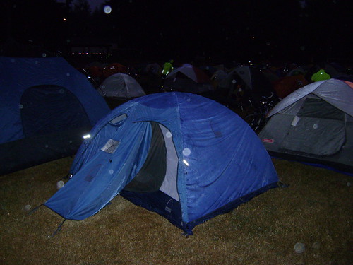 The ocean mist soaks everything.
Highlights:
- BIG downhills.
- Great views of the Smith River.
- Great food.
Lowlights:
- Not enough sleep! (again) Thanks to the shower trucks.
- Very long day in the saddle.
- Not enough time to go explore Reedsport.
}B^)