Ride Date: 13 September 2011
Starting City: Reedsport, OR
Ending City: Bandon, OR
Ride Stats: 78.41 miles, 3,581' of climbing, 5:24:16
The coastal mist soaked anything outside. Good thing I remembered to put a bag over my seat overnight.
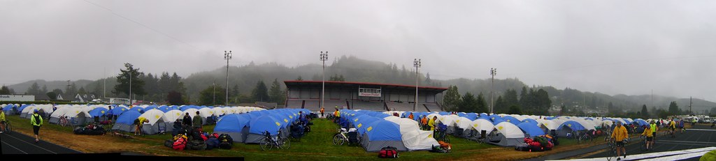 Ruppe Field, Reedsport High School, site of tent city for the Tent and Porter service.
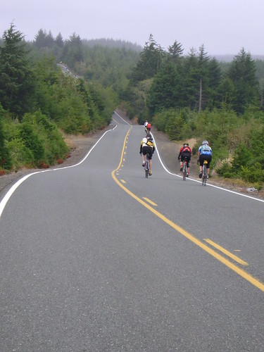
The route today started with 21 miles of riding on US-101, the main north/south route along the Oregon coast. It doesn't get much busier than that unless you are riding on an actual freeway or interstate (which is fun, by the way). riding on a 2 lane road with a 55 speed limit and lots of traffic can be difficult but the shoulder was wide enough. The RVs and semi-trucks have quite the tail wind action.
We had out first view of the coast from the highway just before our first rest stop of the day.
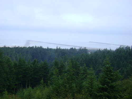 Umpqua Lighthouse State Park, our first view of the Pacific Ocean.
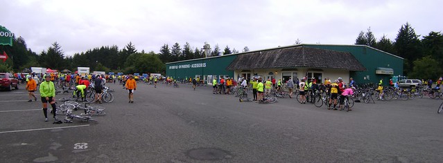 First rest stop outside Hause, OR, and the Oregon Dunes recreation area. Fittingly the site of the rest stop was an ORV rental shop. Just before we reached the Winchester Bridge we came upon a beautiful Veteran's Memorial and a fabulous view of Haynes Inlet.
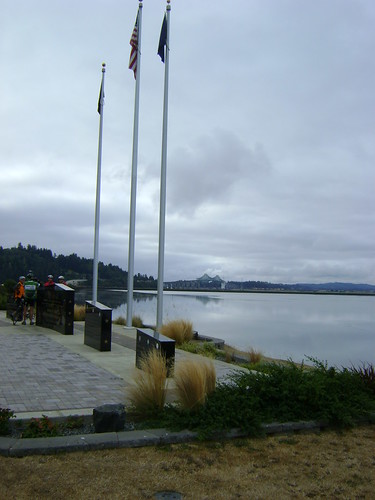 Veterans Memorial along Highway 101 at the Haynes Inlet, Coos Bay, OR
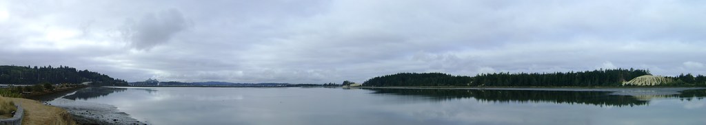 Panorama of the Haynes Inlet along Highway 101, Coos Bay, OR
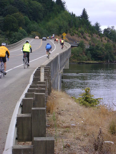
Riding along US 101 was difficult enough but how do you get 2000+ cyclists across one of the busiest highways in the state? You take over an intersection, turn off the stop light and set up a flagger (with the cooperation of the State Troopers, of course). They did this because the (huge) Winchester bridge has very limited shoulders and is under construction.
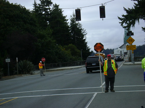 Traffic control just north of the Sherman Ave. Bridge over Coos Bay. We turned left and went around the bay instead of fighting traffic and construction over the bridge.
Once we descended from the bridge area we rode around Winchester Bay, as close as you can get to the coastal wetlands without actually setting foot in them.
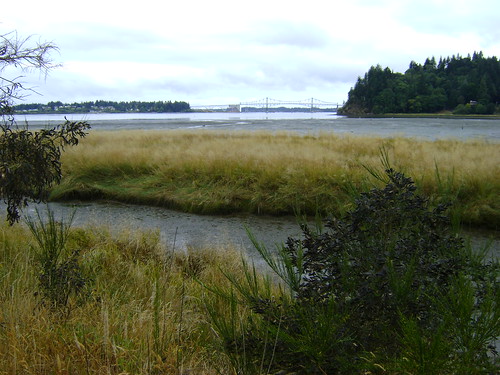
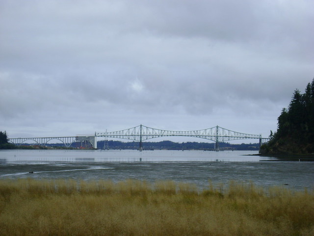 Tidal wetlands and a view of the Sherman Ave. Bridge, Coos Bay, OR.
The riding was incredibly flat for a few miles as we road around the tidal marshes and flats.
 Tidal wetlands and a view of the Sherman Ave. Bridge, Coos Bay, OR.
 Tidal wetlands and a view of the Sherman Ave. Bridge, Coos Bay, OR.At the next rest stop of the day we saw the contrast between today and the previous day: today's break is between a Safeway and the Fred Meyer in Coos Bay, as opposed to a gravel pit and a BLM campground the day before.
At lunch I met a rider of a very cool bike: Manuel from Germany with his low-rider, carbon fiber 'bent. He said he picked it up from the Troytec factory in Germany and rode it home. They make low-profile racing bikes that go really fast. It was incredibly cool.
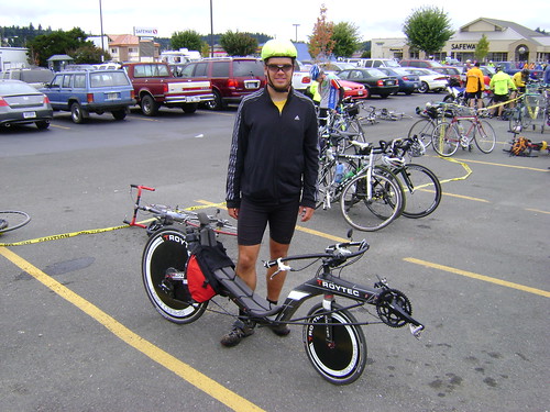 Manuel from Germany with his ultra-cool Troytec Revolution carbon fiber recumbent. This is an insanely cool looking bike. And the "whoosh" sound it makes when it goes by was something to behold. The lunch stop of the day was at one of the most picturesque spots in all of Oregon, Cape Arago at Sunset State Park.
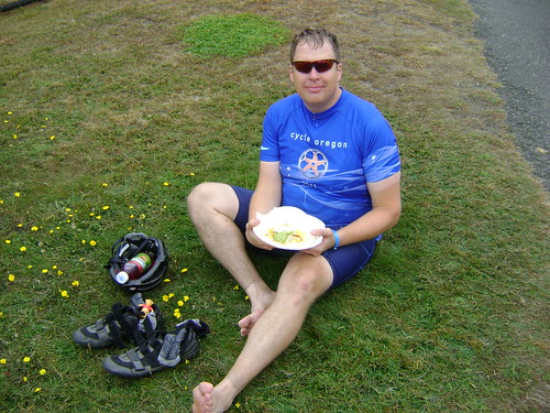 Lunch stop at Cape Arago State Park. Good food and great views.
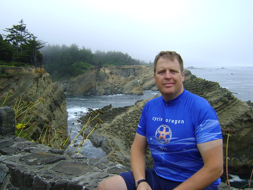
Notice the dirt lines? The dust, dirt, and grime of the road was caked on me as if I had applied it like lotion.
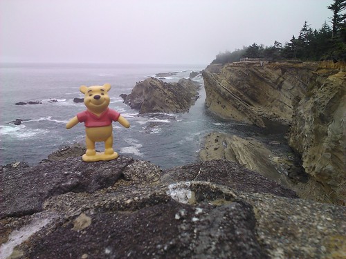
 Lunch stop at Cape Arago State Park. Good food and great views.The rocks and cliffs provided a great backdrop for lunch. Even Pooh Bear approves.
 Lunch stop at Cape Arago State Park. Good food and great views.
I actually visited this State Park as a Boy Scout back in my youth. We hiked down to the tide pools and played the "3 test of bravery" with sea anemones.
As I left the lunch stop I made a last minute decision to check out a botanical garden. Wow, and I glad that I did.
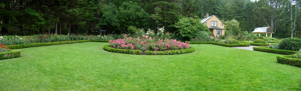 Simpson Garden at Shore Acres State Park on Cape Arago, Oregon. We ate lunch near here on Day 3 of Cycle Oregon 2011.
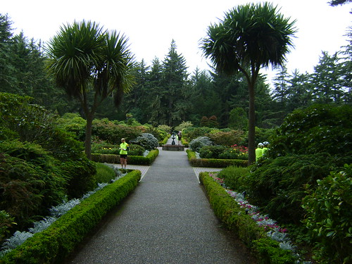 Simpson Garden at Shore Acres State Park on Cape Arago, Oregon. We ate lunch near here on Day 3 of Cycle Oregon 2011.
The route after leaving the State Park took us over a road named "Seven Devils Road." They weren't kidding.
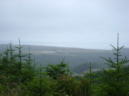 View from the top of one of the Seven Devils along Seven Devils Road on the way to Bandon, Cycle Oregon 2011 Day 3.
 View from the top of one of the Seven Devils along Seven Devils Road on the way to Bandon, Cycle Oregon 2011 Day 3.
A better name for that road would have been "Zone 4 interval training, hill repeats x 7". The eighth devil was the climb up from the water stop. Who puts a water stop in the middle of a set of difficult interval repeats and have it over 100' below the road? Ouch.
As a cool down they sent us through Bandon Dunes Resort, one of the coolest golf courses in the US.
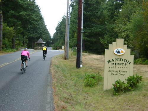 Entering Bandon Dunes Resort, Cycle Oregon 2011 Day 3.
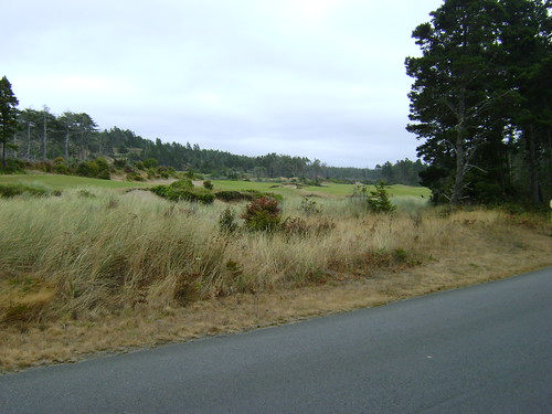 View of the 9th hole at Bandon Dunes Resort, Cycle Oregon 2011 Day 3.
I arrived in Bandon very tired and sore. Good thing the band for the night wasn't that great, it gave me an early bedtime tonight. That night was very cold. I nearly froze in my tent with temps in the low 40s.
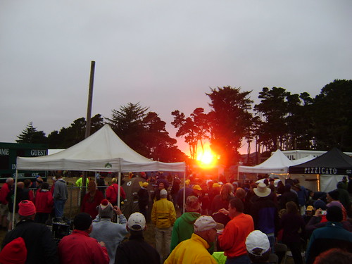 Sunset in Bandon on Cycle Oregon 2011 Day 3.
Highlights:
- Incredible tidal marshes/flatlands.
- Views at Cape Arago.
- The gardens at Sunset State Park.
- Speeding down the Seven Devils on the drops after climbing up each one.
Lowlights:
- Climbing UP the Seven Devils.
- LOTS of road grime on me and my bike.
- BRRRR!!
}B^)